Just a quick note that there are lots of very large By-the-wind Sailors (Velella velella) washing ashore right now. Many are in the range of 7-10 cm long. Photo from 30 July 2025.
Thursday, July 31, 2025
Wednesday, July 30, 2025
From Kamchatka
Shown above are the water levels as recorded at the Point Reyes tide gauge on 30 July 2025. The blue line represents the predicted tide levels. The red line shows the recorded levels with marked fluctuations, both higher and lower than the predicted levels, revealing the effects of the Kamchatka tsunami.
Second photo, 9:25 a.m. The water has flooded in from the left side and spread across the tidal flats to the right of the sign. Importantly, low tide was at 9:28 a.m. this morning, so the tide should have been dropping, but the water was rising quickly:
Fourth photo, 9:52 a.m. About 20 minutes later, the water starts to rise for a second time. It's spreading to the right of the sign again:
It'll be interesting to see how long the water level fluctuations continue. You can check the Point Reyes tide gauge yourself here.
Sunday, July 27, 2025
Swimming north rapidly
This was a little unexpected, but as I was watching the Humpback Whales yesterday (26 July 2025), I caught a glimpse of a fin much closer to shore and realized it was a Bottlenose Dolphin (Tursiops truncatus).
I wasn't quite ready and didn't get a great photo, but I thought one photo was possibly good enough to identify the individual. So I sent it off to Bill Keener at The Marine Mammal Center. Sure enough, Bill was able to match this to a known female in their catalog. "Cepat" has been seen in Sonoma County before, and as far north as Sea Ranch.
Here's a few of her heading north:
P.S. I was curious about the name "Cepat," so I looked it up. Sounds like it's an Indonesian word meaning rapid, quick, or swift.
P.P.S. Many thanks to Bill for providing the background information about Cepat and for monitoring local marine mammals!
ADDENDUM (31 July 2025): Some people have inquired about how Bill identified Cepat. Individual Bottlenose Dolphins have distinctive markings on or near their dorsal fins. So if you get a good enough photo and the dolphin is a known individual in the photo catalog, you can match the markings. Here's a close-up where you can see a couple of distinctive notches at the base of Cepat's fin:
Saturday, July 26, 2025
Splash dance
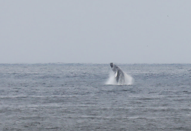
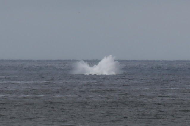
Whale activity continued off of Bodega Head today (26 July 2025). This afternoon I tried to get a few photos of breaching. The whales were pretty far off (perhaps 1.5-2 miles), so these photos aren't the sharpest, but I'm sharing several for the record.
Thursday, July 24, 2025
Casualty of the fog?
This is a Sora (Porzana carolina), a type of rail. Soras are somewhat secretive marsh birds, spending most of their time among wetland vegetation. You're more likely to hear one calling at night than to see one.
Here's a view showing the entire bird:
It's always a learning experience to see animals up close, so here are a few images.
Short yellow bill:
Wednesday, July 23, 2025
What a day!
Every where I went today (23 July 2025) I heard people saying, "What a day!" The weather was beautiful at the coast, and it appeared that the whales were enjoying it, too! Every time I scanned the horizon from Bodega Head today there were at least 8 or more Humpback Whales in view.
I took a few photos here and there, and several seemed to show the whales feeding at the surface, with mouths open:
Tuesday, July 22, 2025
Monday, July 21, 2025
View from above and below
As part of my job, I sometimes receive requests from researchers to check on the status of local species, e.g., whether a plant is flowering now or going to seed. Recently there was an inquiry about an interesting parasitic plant, California Orobanche (Aphyllon californicum).
I couldn't find any at first, but I didn't give up, and in the end I found a few orobanche in flower.
From above (first photo) the plant is intriguing, but it gets even more interesting if you lie down for a side view:
Wednesday, July 16, 2025
White on gray
We were on a field trip to the Fort Ross/Salt Point area today (16 July 2025). I didn't have a chance for many photos, but there was lots of whale activity visible offshore (mostly humpbacks), so here's a photo for the record.
Friday, July 11, 2025
Breathe in, breathe out
An unexpected surprise this morning (11 July 2025), a beautiful octopus in the low intertidal zone. I only had a minute or two before it continued on, but it was a magical minute!
I managed a short video clip (see below, or click on the title of the post above to go to the NHBH web page to see the video player). The octopus is drawing water into its mantle cavity (where it will then pass over the gills) and expelling water through its siphon.
Many thanks to Eric for editing the video clip!
Wednesday, July 9, 2025
End-of-the-day treat
A Bushtit for you! This one was searching for prey among the moss, bark, and leaves on a tree in the Oliver's parking lot in Cotati.
Monday, July 7, 2025
Offshore fog
This isn't a recent photo, but it's been foggy at the coast lately, and I came across this older photo of offshore fog while doing some photo organization, so here you go! Photographed from Bodega Head on 29 March 2013.
P.S. Bodega Bay can be pretty foggy, leading to some nicknames for the foggiest months, e.g., June Gloom, No Sky July, Faugust. It isn't foggy all of the time, but I'm intrigued by all of the different forms of fog. What's your favorite form of fog?
Saturday, July 5, 2025
Blue background
Last week I came across an Ochre Sea Star (Pisaster ochraceus) that was noticeably blue. It's a little hard to tell from the photo above, but hopefully you can see the blueish background coloration among the clusters of white spines.
We've been monitoring Pisaster for over a decade and have observed thousands of individuals during that time, but I can't recall seeing a blue adult sea star until now. The most common colors are orange, brown, and purple, but this blue individual seemed unusual, so I took a quick photo for the record.
That said, we often see juveniles with blueish coloration — see photos below from this past winter:
I've often wondered if the blue juveniles gradually turn purple, and perhaps some do, but the blue adult in the first photo shows that sometimes the adults can be blue, too!
Thursday, July 3, 2025
Featherduster fireworks
Eric photographed this beautiful featherduster worm (Eudistylia vancouveri) in Bodega Harbor earlier this week.
Tuesday, July 1, 2025
Flecktones?
A nice little chiton for you — a juvenile Lepidozona radians.
Photographed in the low intertidal zone on 29 June 2025.


