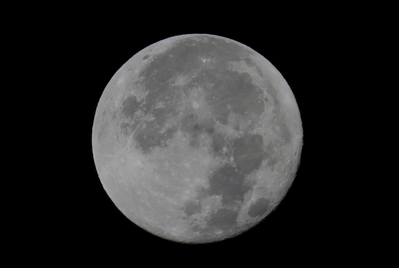
Getting ready for some low tide work this morning, couldn't help taking a photo of the super blue moon! Photographed from Cotati on 20 August 2024.
Getting ready for some low tide work this morning, couldn't help taking a photo of the super blue moon! Photographed from Cotati on 20 August 2024.

Morning light at flood tide in Bodega Harbor on 1 February 2022.
And then later...


To document evidence of the tsunami yesterday, I took a few photos from the shoreline of Bodega Harbor. Below I'll share a short time series, but before I do that I wanted to explain what you'll be seeing.
I learned a lot from seeing the Tohoku tsunami in 2011. It's easier to think about these effects not as one larger wave, but instead as a series of water level changes. The water surges above the predicted tide height and then recedes below the predicted tide height, and this happens over and over and over again. (In 2011 the effects were visible for at least 7 days.) These changes in water level happen relatively quickly – e.g., rather than taking 6 hours to go from high tide to low tide, during the tsunami events we've experienced in 2011 and 2022 some of the water levels changed from the equivalent of high tide to low tide within 30 minutes!
So if the estimate for the Bodega Bay area was for the water level to change by 1.5 feet, then the water level would surge 1.5 feet above the predicted tide height and then recede 1.5 feet below the predicted tide height, and then the flow direction would change and the water would come in again and then go out again. (In general, the water level deviations are greatest within the first day and then get smaller during the following days.)
Because waves in this area are large (often in the 5-8 foot range), it's actually harder to see the effects of a 1.5 foot water level change on the outer coast. (Although there can be dangerous surges on sandy beaches.) But the effects of the tsunami are much easier to see in Bodega Harbor during low tides because you can see the water flooding over the tidal flats and then receding and then flooding in again. I'll admit, after spending most of my life around tides, it has felt somewhat surreal to me to see this happening!
So here's a time series of photos taken from the same site along Westshore Road. There is a pink arrow pointing to a clump of algae for a visual landmark to judge the height of the water. (Note that in these images the water flows in from the left and then recedes to the left.)
The first image was taken at 1:02 p.m. when the water level was relatively high:

Then the water receded and was very low within 15 minutes, the time of the second image at 1:17 p.m.:

Then suddenly the water started surging back in and it returned to the relatively high level within 7 minutes, by 1:24 p.m.:

After that the water receded again and stayed out for while (but it eventually came back in ~2:30 p.m. after I had left):


Amazing to see the effects of the Tonga tsunami reaching Bodega Bay, ~5200 miles (8500 km) away.
P.S. You can click on the images above and then move through the images faster to see the water level receding, flooding, and receding again.

One morning last week when we were headed out to do field work, we noticed an odd smell in the area and later we found the source — some small patches of California Mussels (Mytilus californianus) that had died recently.
Although it's been warm inland, I didn't recall noticeably high air temperatures at the coast, so at first I was a bit puzzled. But then I thought about how calm the ocean has been (hardly any large swell) and that this site is quite high on the rocks. It's likely that the mussels growing here are used to getting splashed by waves, and if they didn't experience any wave action during a warm day, it could be a problem for them.
So we did a little sleuthing regarding the conditions that might have caused this mussel die-off. Questions we wondered about included:
- Were there any higher air temperatures in Bodega Bay recently? We looked back at some temperature records and noted a couple of days in early August when the air temperatures reached ~67°F (~19°C). That was the warmest we found, so the air didn't get that hot.
- But we know that mussels and the rocks they grow on reach warmer temperatures than the air. So how hot was the rock at the time? Luckily, Eric had some data loggers on the rocks near mussels and so he looked back and found that rock temperatures reached ~98-100°F (~37-38°C) on those warmer afternoons. That's warm enough to impact mussels, and if exposed long enough, it might kill them, but it would depend on other conditions at the time. So...
- What was the timing and height of the tides on those days? Interestingly, this was during a neap tide series. Compared to tide heights during a spring tide series (around full moons and new moons) the high tide heights during neap tides are relatively low. For example, the morning high tide on August 1st was only 3.7 feet (higher high tides in our area are often over 6 feet). And the low tide on August 1st was 2.7 feet at ~12 p.m. This combination of a very low high tide in the morning followed by a low tide in the middle of the day is potentially dangerous for a marine organism living in the high intertidal zone, especially if the wave conditions are extremely calm and the air is relatively warm. It basically means that mussels growing at that site (at about 5 feet elevation) were exposed to warm air/rock temperatures and no wave splash for the entire day — especially from late morning through late afternoon (the hottest part of the day). On 1-3 August 2021, these mussels might have reached temperatures >86°F (>30°C) for 4.5-6 hours each day and they might not have experienced any wave splash for that entire time. [I think it's even possible they didn't get splashed during the night-time high tide (which on August 1st was 5.6 feet at 7 p.m.)]
So questions remain about this die-off, but rather than being caused by extreme warm air temperatures alone, in this case I'm guessing it was a convergence of factors, including (1) these mussels lived very high in the intertidal zone at a very splashy site; (2) there was a low high tide in the morning (the mussels weren't submerged during high tide); (3) there was a low tide in the middle of the day (the mussels were exposed to warm air for many daylight hours); (4) there were warm air temperatures (this might not have happened if air temperatures had been cooler); and (5) this occurred during very calm sea conditions (the mussels weren't cooled down by wave splash).
This mussel die-off was restricted to a very high intertidal splash zone site. Most of the mussels in the rest of the intertidal zone were fine. But seeing this event was insightful for considering combinations of factors that could be lethal for mussels.
One more photo for the record:


